Participatory digital technologies offer an opportunity for societies to mitigate and adapt to climate change.
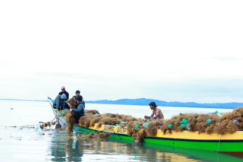
The Indonesian province of North Kalimantan is known for its mangrove forests along the coast. A considerable part of the population there is devoted to seagrass and shrimp farming. In recent years, this has increased so much that the mangrove forests along the coast have had to make way for cultivation or have been severely affected. One thing is clear: the mangroves play an important role for safeguarding the clean water, air and soil in their surroundings. As such, they provide crucial protection against global warming. Communities in North Kalimantan know the importance of mangroves. However, they face the challenge of measuring the conditions of the forests more accurately.
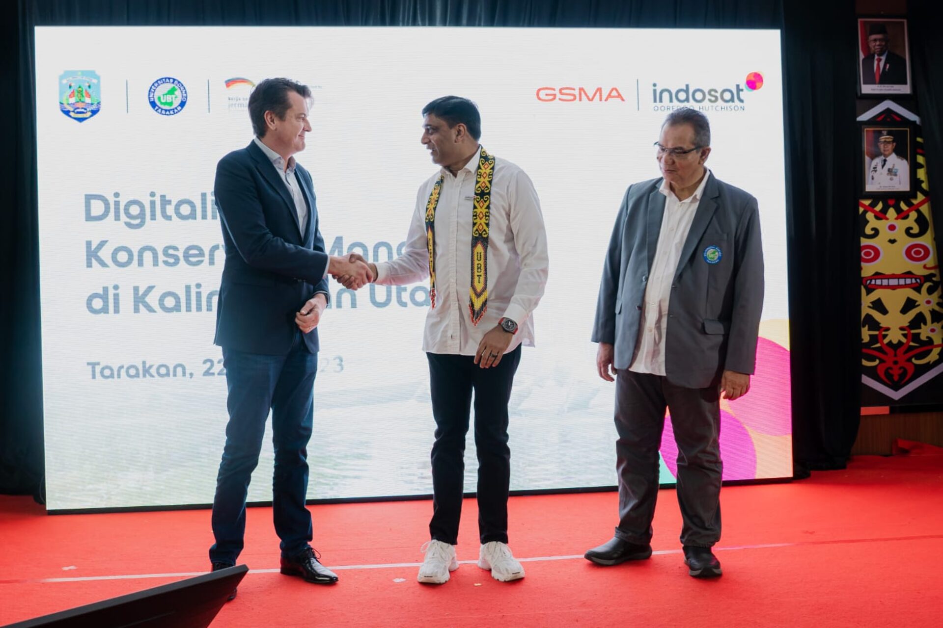
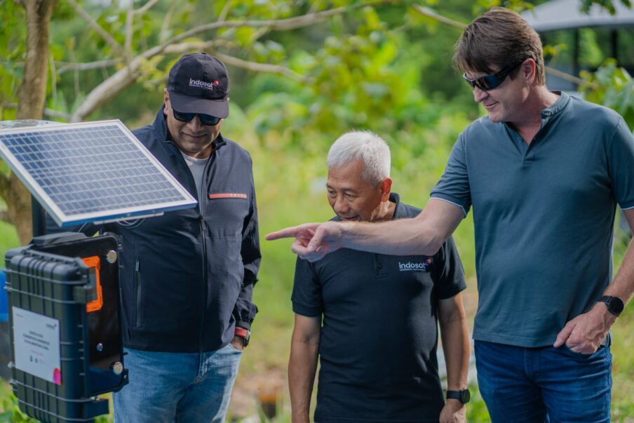
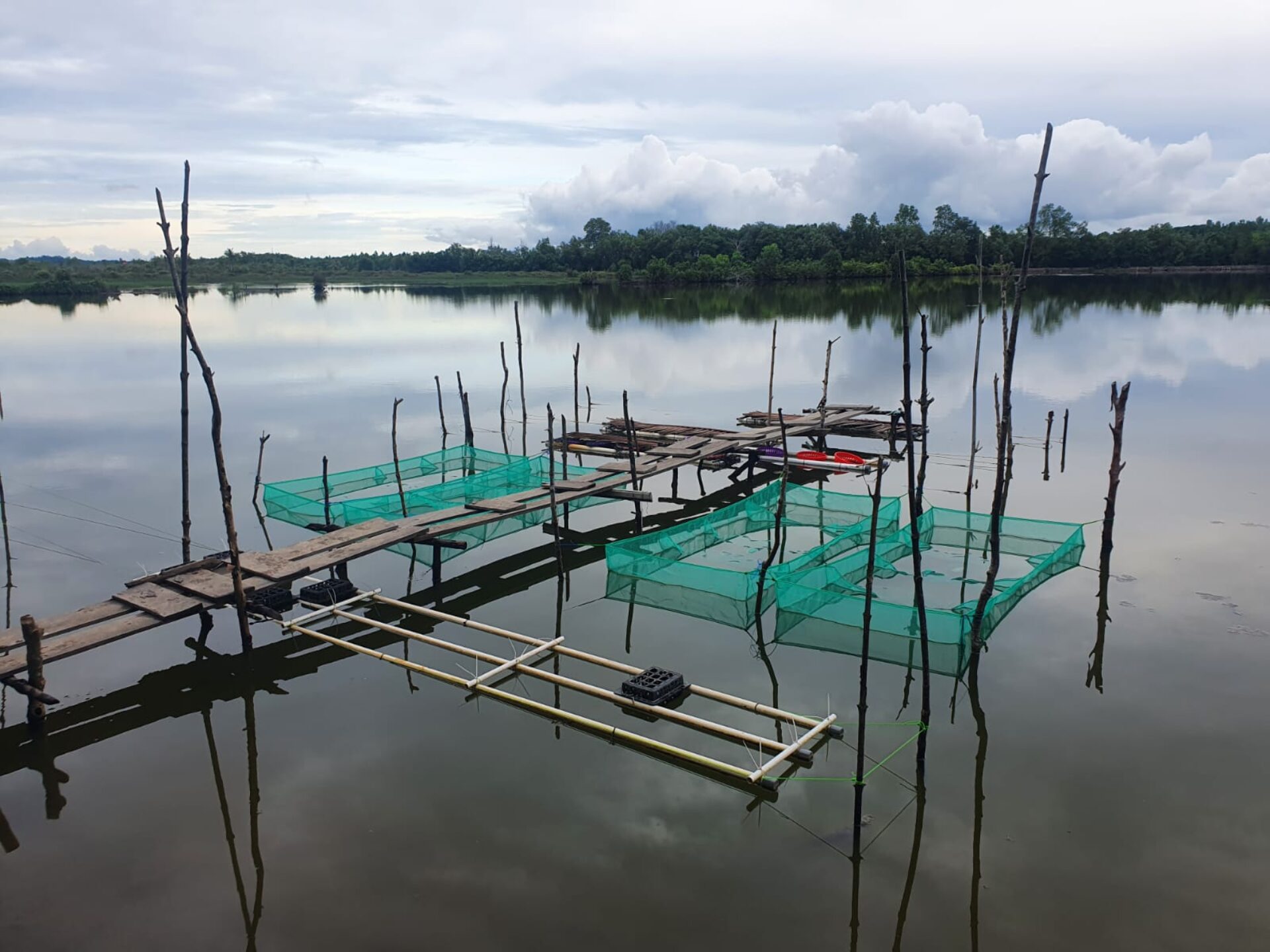
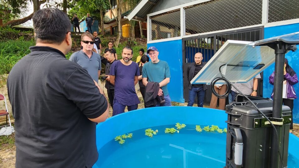
With this in mind, the Digital Transformation Center Indonesia, initiated by the BMZ and implemented by GIZ, the GSMA Mobile Innovation Hub and the local mobile operator Indosat Oreedoo Hutchison have implemented an innovative project. They show how climate protection can be supported by digital technologies. On the one hand, shrimp farmers learn about opportunities for environmentally friendly shrimp farming and were offered to use an IoT-based digital solution to monitor water quality of the ponds.
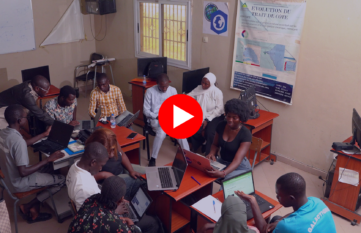
In addition, residents of the area are involved in a participatory process to use their smartphones to enter the conditions of the forests. They use their smartphones to map the mangroves and collect data about the region. Using an open-source technology, it is possible to map the mangrove areas, document the condition of the trees, and collect data about the ecosystems surrounding the mangroves.
Rambli, the community leader of Setabu is excited about the possibilities offered by the mobile application, “With the help of this mapping technology, we hope to be able to monitor our sea and our mangroves so we can assess how much of both is still preserved.”
As GSMA Foundation, we are very proud of this project between the GSMA Mobile Innovation Hub, GIZ and Indosat Ooredoo Hutchison. It is a testament to how the mobile industry can play a vital role in connecting vulnerable communities to digital solutions that enable them to improve their resilience to climate change. Mangrove forest conservation, for example, is a global need across many coastal communities. Pilot projects such as this, will bring invaluable learnings that can be replicated in different countries and contexts.
Philippe Bellordre, Head of Operations & Innovation Fund, Mobile for Development, GSMA Mobile4Development
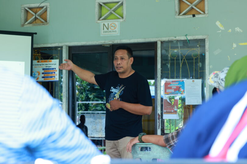
Based on the registered data, an open-source map is created for the local government, on which the mangroves and other information are drawn. At the beginning, training courses on digitalization and climate protection were offered in the participating villages of North Kalimantan. The inhabitants play a crucial role in this project, because only through their engagement and active participation the data can be collected and continuously updated. This project shows that geomapping can become a community task and contribute to the protection of ecosystems.

The geomapping project is part of the Mobile Innovation Hub Indonesia initiative. During this 18-month program between the Digital Transformation Center Indonesia and GSMA Mobile Innovation Hub, different technologies were developed and implemented for climate action. The collaboration aims to leverage the power of digital technologies to achieve sustainable and climate resilient development. Participatory geomapping and other successful approaches can be shared in other parts of the country and internationally through the network of Digital Transformation Centers. After all, knowledge sharing and collaborative development of digital and sustainable strategies is one of the goals of the Digital Transformation Centers.