El Niño is coming. Can shared data keep nearly a million people safe?
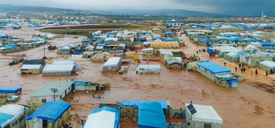
East Africa is bracing for a wetter-than-usual rainy season. The Tanzania Meteorological Authority (TMA) has warned of El Niño–driven heavy rains from November 2026 to April 2027, with November expected to be especially intense. Farmers are being urged to secure drainage and protect their soil, health facilities to stockpile medicines and prepare for interrupted access. School closing dates and national exams schedules have already been adjusted.
In moments like this, a timely warning can save lives. It gives authorities time to evacuate people, protect clinics and keep essential services running. But a warning is only as good as the data behind it, and that data rarely sits in one place. Rivers, floods and droughts ignore national borders, while the information needed to anticipate them is scattered across institutions, sectors and countries.
From silos to a shared picture
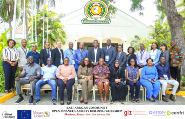
This is the gap that EA-READY (East Africa Regional Early Warning & Analytics for Climate Resiliency) set out to close. Developed by UNEP and the joined Data Economy Initiative from the European Comission and BMZ under the Team Europe Action “Data Governance in Africa”, the project brought together 44 stakeholders from government, academia, civil society, the private sector and regional organisations.
Consultations with partners from Kenya, Rwanda, Tanzania and Uganda confirmed a familiar problem: the data exists, but it is locked in institutional silos, stored in incompatible formats and governed by differing access rules. Weak interoperability, limited infrastructure and diverging legal frameworks add to the challenge. Just as importantly, participants made clear that data sharing is not only a technical question. Trust, data quality, responsibility and governance matter just as much.
So the stakeholders moved from talking to building. Together, they mapped data flows, identified key institutions and capacity gaps, and pinpointed where combining environmental data would deliver the most value. The result: a regional early-warning prototype.
A dashboard for real-time alerts
The EA-READY dashboard pulls together data from the Tana, Kagera, Mara and Ruvu river basins, including transboundary systems linking Kenya, Tanzania and Uganda. It displays water levels and rainfall across monitoring sites, tracks and manages alerts, and shows how predictive analytics could flag flood risks earlier.
In its current demonstration setup, the dashboard covers an area home to around 980,000 people, with a predictive model accuracy of roughly 94 percent, alongside indicators for sensor uptime, data quality and alert delivery. These are prototype figures, but they offer a glimpse of what a fully functioning regional data system could achieve.
Shared risks, shared intelligence
What sets EA-READY apart is that it turns abstract concepts like interoperability and data governance into something tangible, applied to a real and pressing problem. What happens upstream in one country can flood communities downstream in another. Understanding such risks requires data held by many institutions across several jurisdictions. Through a regional validation process, stakeholders jointly identified the datasets, institutional arrangements and governance structures needed to take the concept further.
EA-READY does not claim to have solved every challenge of transboundary data sharing. But it has shifted the conversation from why data should be shared to how it can work and what it could deliver. Shared risks require shared intelligence. When climate impacts cross borders, the data we use to respond to them must be able to do the same.