Solutions from space: Rwanda’s smart harvest planning
When weather and crop yields become unpredictable, reliable information is crucial. In Rwanda, digital maps are showing for the first time exactly where which crops grow, helping to better adapt agriculture to climate change.
Around one third of all food worldwide is lost between the field and the plate, for example due to pest infestation, incorrect storage or long transport routes. Climate change is exacerbating these losses: irregular rainfall, dry seasons and extreme weather events are jeopardising harvests and making planning increasingly difficult for farmers.
Rwanda’s agricultural sector also faces these challenges. Around sixty per cent of the population depends on agriculture, which is why even small climatic changes have a direct impact on income and food security in the country. As crop yields could fall by up to ten per cent in the coming decades due to climate change, it is all the more important to make agricultural production more predictable and resilient.
Many fields, little data
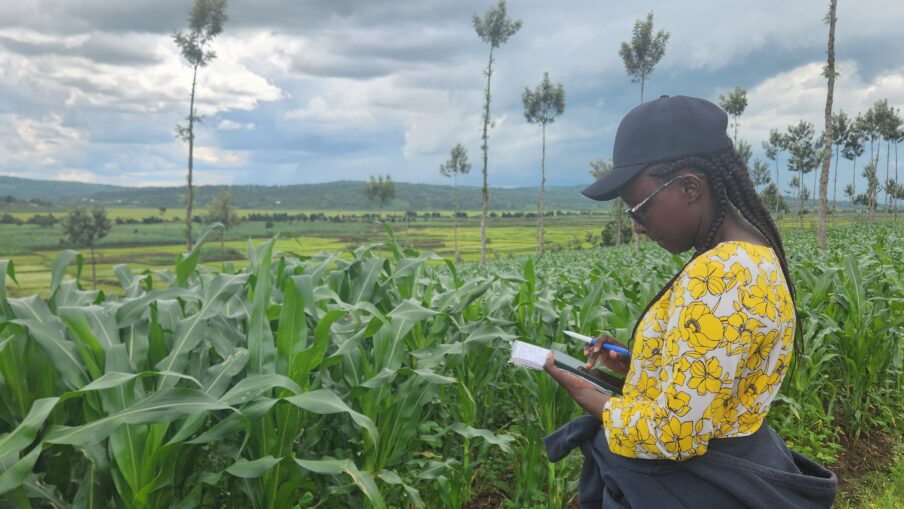
For farmers like Nsengiyumva from the Nyagatare district, such uncertainties are part of everyday life. He uses agricultural advisory services to select suitable varieties for the changing climatic conditions, determine the right time for sowing and prepare for dry periods.
But it is precisely here that the necessary basis is often lacking. In Rwanda, many households cultivate small plots of land for their own use, often with several crops in one field. The hilly landscape also makes it impossible to create larger contiguous areas of cultivated land. Traditional data collection in the field is therefore time-consuming and cannot be constantly updated. This makes it difficult for government agencies to obtain an overview of the cultivated areas in order to modernise field work.
Accurate crop type maps not only show where different crops are grown, but also improve how we plan and allocate resources. Since crop identification is a key field observation task, reliable crop maps significantly reduce the workload and increase efficiency.
Florent Bigirimana, Head of the GIS Department at the National Institute of Statistics of Rwanda (NISR)
New perspective, broader overview
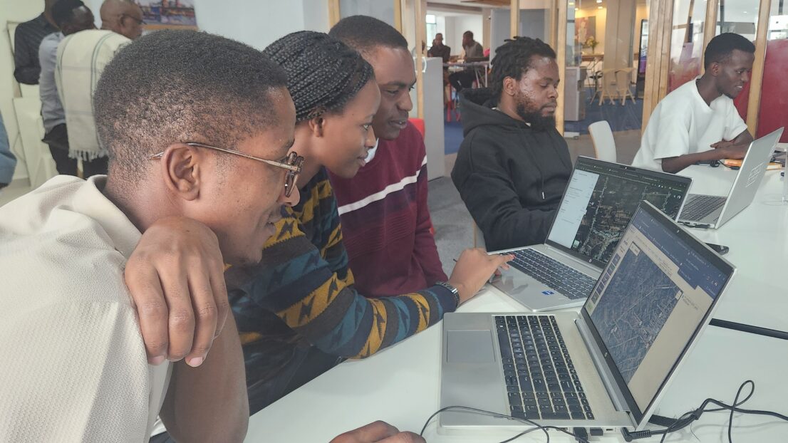
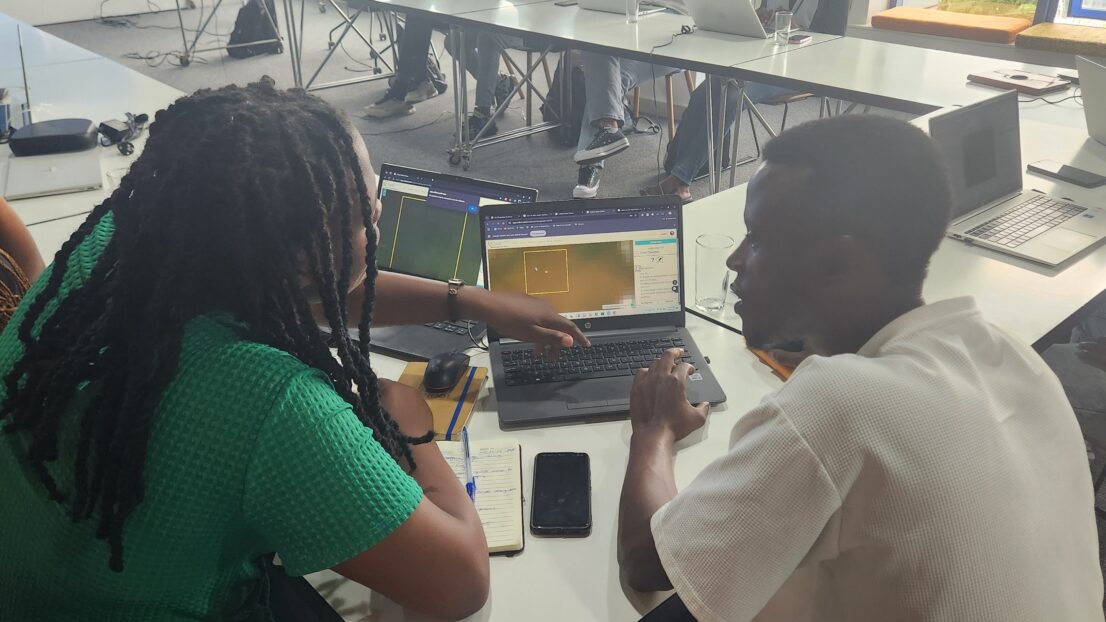
Support is now coming from space: a method has been developed to map agricultural land using satellite imagery and artificial intelligence (AI). A collaboration between the Rwanda Space Agency (RSA), the Rwandan Ministry of Agriculture, Alliance Bioversity International – CIAT and the Initiative FAIR Forward – Artificial Intelligence for All of the German Federal Ministry for Economic Cooperation and Development (BMZ) has supplemented existing data systems.
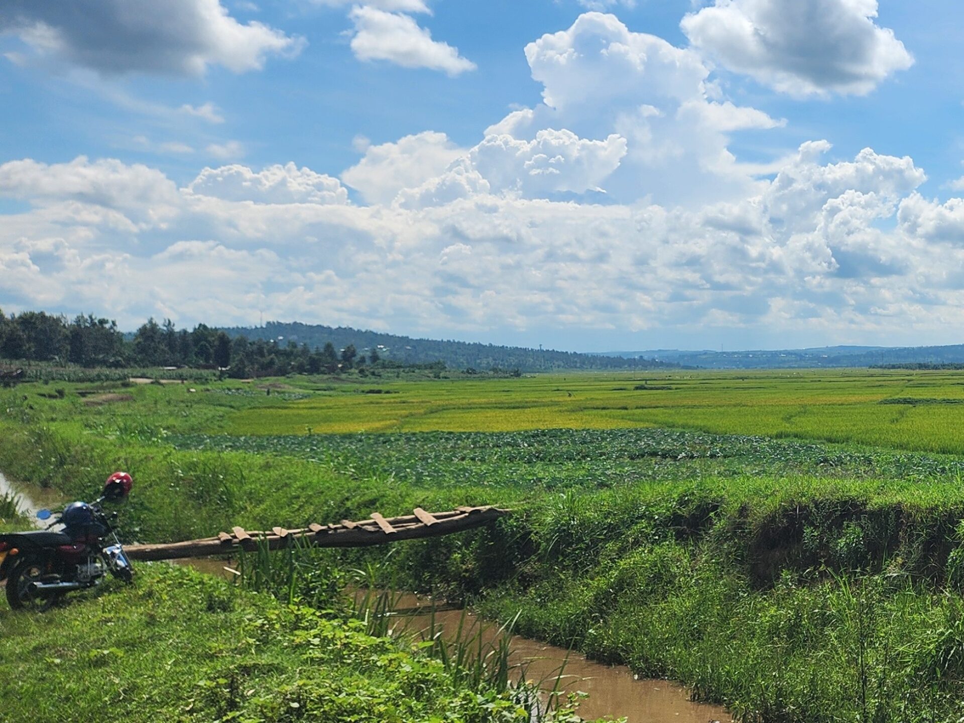
The combination of satellite and field data now produces accurate maps showing which crops are grown when and where. This approach is currently being tested in four districts for rice, maize, potatoes and beans.
Better planning, lower risks
For the first time, the new data provides a reliable basis for higher-level decisions. Authorities and advisory services can now identify more quickly where cultivation patterns are changing and action is needed. They can better assess where certain crops are particularly affected by temperature fluctuations, drought or pests. Early warning systems can be used more specifically, and the national fertiliser subsidy programme can provide fertilisers where they are needed. The use of pesticides can be controlled more precisely, as can the storage, transport and marketing of crops.
The maps provide us with reliable insights into what is being grown where and when, thereby strengthening seasonal monitoring and production analyses. This enables us to better anticipate risks, manage investments and support farmers with data-driven services.
Martine Nezerwa, Chief Digital Officer, Ministry of Agriculture, Rwanda
For farmers such as smallholder Nsengiyumva, this means one thing above all else: better advice with cultivation recommendations tailored to his region. He himself will not use the satellite maps, but the advisory services that support him will work with more accurate and up-to-date information in future.
Open, sustainable and future-proof
The mapping method developed is freely accessible and fully documented. Training courses with the Rwandan Space Agency and the Office of Statistics ensure that local experts can continue to develop the system independently.
The digital maps do not replace observations and measurements in the field or local knowledge. They complement these to create an improved basis for data-driven decisions, more targeted use of resources and forward-looking risk management using digital tools – for agriculture that offers prospects for the future even under climate pressure.