Forest Forward: Using artificial intelligence to help Goa’s forests thrive
Climate change is putting growing pressure on forests. In Goa, India, for example, rising temperatures, erratic rainfall, and shifting weather patterns have increased the risks of wildfires and forest degradation. To address these challenges, the Forest Forward initiative, part of the BMZ Programme FAIR Forward – Artificial Intelligence for All, has introduced two tools powered by artificial intelligence (AI). They support the Goa Forest Department in monitoring, preventing, and mitigating climate-related threats to its forests.
To build these solutions, FAIR Forward partnered with Vertify.earth, an organisation that uses geospatial data and AI to monitor forest ecosystems.

© GIZ
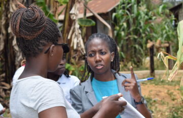
“We have joined forces because we don’t want Goa to lose its unique identity. Planning must protect both our forests and our communities.”
Anuj Sharma, Founder of Alsisar Impact, local partner for stakeholder management
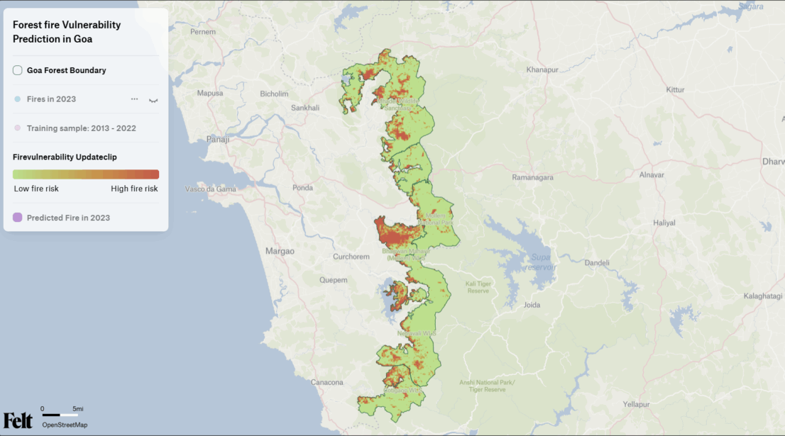
A map shows vulnerable areas before a fire ignites
Forest fire management often only begins once the damage is already visible. With an AI-supported fire risk map, Forest Forward enables early action. Using remote sensing data and machine learning, the tool identifies areas where fire risks are increasing. It not only considers fire-prone land but also identifies communities or biodiversity hotspots that could be affected by potential wildfires. Local forest officers have contributed their expertise to the development of the tool, making it not only technologically advanced but also deeply rooted in the local context.
Estimating biomass with spatial precision
The second application addresses an equally important aspect of sustainable forest management: carbon estimation and forest damage monitoring. Most global biomass maps don’t capture the complexity of India’s tropical forests. The Forest Forward team has trained a new AI model using South Asia-specific reference data developed by the Indian Space Research Organization. The result is a high-resolution, regionally calibrated view of above-ground biomass, built using deep learning and open satellite data. With this model, forest authorities can track degradation, assess carbon stocks, and plan restoration projects more effectively.
However, it’s not just about measuring trees. Rather, it is about gaining knowledge about the health and resilience of forests and their role in mitigating climate change.
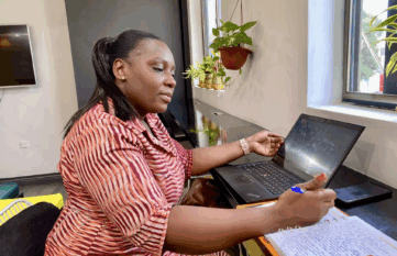
Sharing data and maps with communities is more important than ever. Through site-specific geospatial analysis, we can generate insights that inform, protect, and empower community stakeholders.
Micheal Anthony, Founder and executive director of Vertify.earth
A smarter, greener path forward
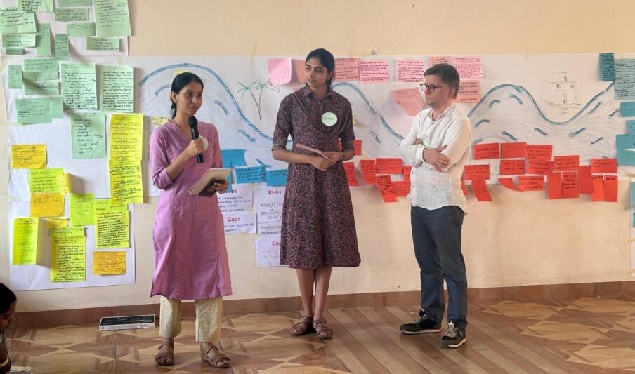
The project was co-designed with the very people who manage Goa’s forests every day. Crucially, the tools are open-source, meaning they can be used free of charge and modified and further developed as needed. This way, they can be reused and adapted by others facing similar challenges in India or worldwide.
Forest Forward provides a glimpse into what the future of forest governance can look like: driven not by crisis, but by insight. In a warming world where every fire and every unmeasured carbon sink matters, Goa’s forests are now better equipped to thrive.